top of page

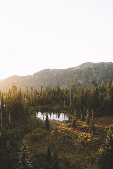
Rivers, Streams & lakes

Nature is still free to everyone in South Cobb. Except for getting there early to find parking, you don't have to pay for access to our rivers, streams and lakes. 

Swimming in Forest River

The Chattahoochee

The Chattahoochee River is 465 miles long, which makes it Georgia's longest river. This river starts from the Chattahoochee Springs and stretches through Atlanta, the Alabama border, and even makes its way to the Gulf of Mexico. The Chattahoochee provides over 70 percent of Atlanta's drinking water, which is over 300 million gallons a day.
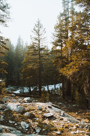
Seybert Lake

Seybert Lake is located in the city of Austell and is seven acres in size. This lake is a very popular fishing sight in Austell and inhabits popular species of fish.

Foggy Lake
Fog and Nature

Rottenwood  Creek

Rottenwood Creek starts in south Marietta and stretches to the Chattahoochee River. It also has an abundance of different fish species that inhabit the body of water.

Noses Creek

Noses Creek is 14 miles long and flows from Marietta to Sweetwater Creek. It also branches out connecting to other local creeks. It is surrounded by multiple trees including maple, oak, birch, tulip, sweetgum, and pine.

River
Fishing in Nature

Powder Springs Creek

Powder Springs Creek is 9 miles long and flows from Powder Springs to Sweetwater Creek. This creek reaches the Silver Comet Trail and even the Wildhorse Trail. This area has plentiful vegetation and beautiful tall trees that habits multiple, macro-invertebrates.

Kings Lake

Kings Lake is located in the city of Austell and is 26 acres. The lake is surrounded by residential homes where residents are able to use the lake for relaxation and recreational purposes.

Seated Paddler
Forest

SweetWater Creek

Sweetwater Creek is also known as "Jack Lake", is 12 miles long and flows from Paulding County, through South Cobb, and ends in Douglas County. It connects to other waterways including Powder Springs Creek, Butternut Creek, Noses Creek, Ward Creek, Mud Creek, and Olley Creek. Due to the size of this area’s wetlands, the creek helps reduce the amount of flooding caused by the rain.

Olley Creek

Olley Creek is 10 miles long and flows from Marietta to Sweetwater Creek along Perkinson Mill Road. 

Gentle Stream
Wild Pond

Mud Creek

Mud Creek flows 8 miles from west Marietta to Nose creek. It was named after its bed sediments that are made of sand and fine clay. Previously the majority of the creek was channelized but now the area serves as future residential areas. 

Nickajack Creek

Nickajack Creek is 12 miles long and flows from Smyrna to the Chattahoochee River. Due to local road construction, the creek has decreased in size, but because it is near the Silver Comet Trail, a significant section is being preserved by the Cobb Land Trust.

Reflection in a Pond
Fishing in Nature

Ward Creek

Ward Creek, located in Marrietta, is a tributary of Nose Creek that flows 14 miles through Central Cobb and the Kennesaw Mountain National Battlefield Park. It is a very small creek but it protects a lot of areas downstream from flooding and erosion. 

Sope Creek

Sope Creek originates in east Marietta and flows into the Chattahoochee River. It was named after Chief Sope who was a Cherokee Indian that lived near the Chattahoochee. This creek has a beautiful hiking trail at the Sope Creek Chattahoochee River National Recreational Area.

Forest Stream
Stoney River

Willeo Creek

Willeo Creek is 6 miles long and starts in north Cobb and travels down to form the Cobb and Fulton County border. The upper level of the creek has formed into a steep slope which causes a downstream that flows into Fulton County.

bottom of page